
PRODUCTS
We customize, configure and deploy leading GIS software and applications.
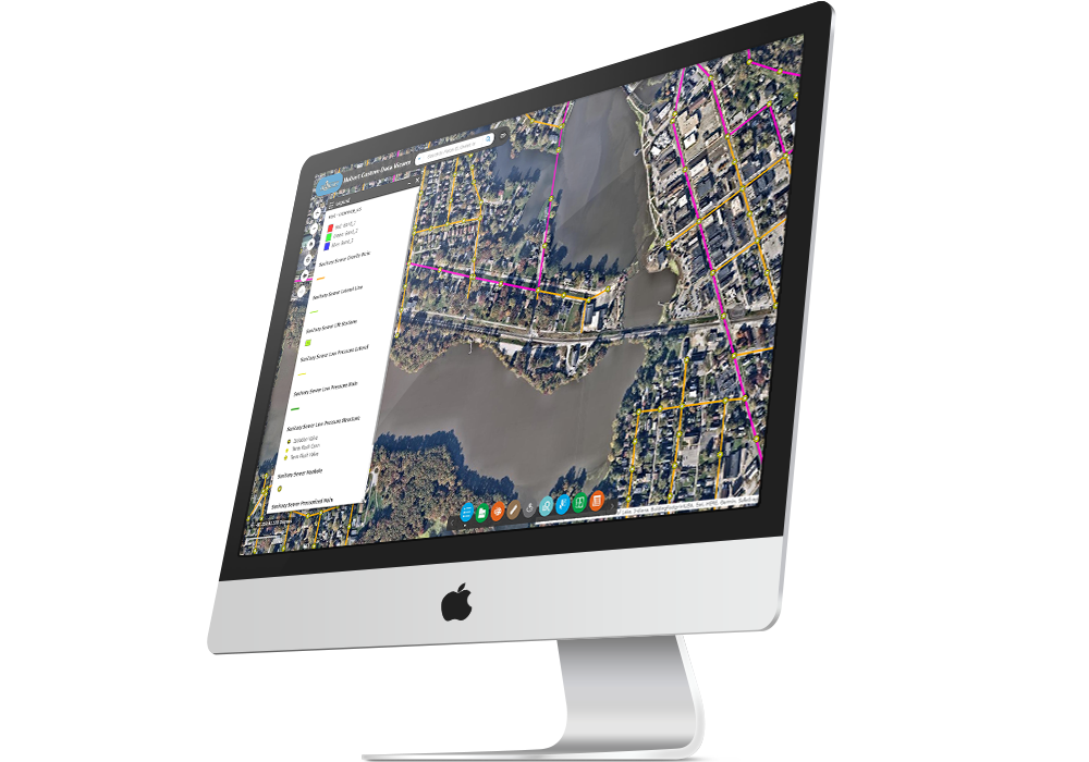
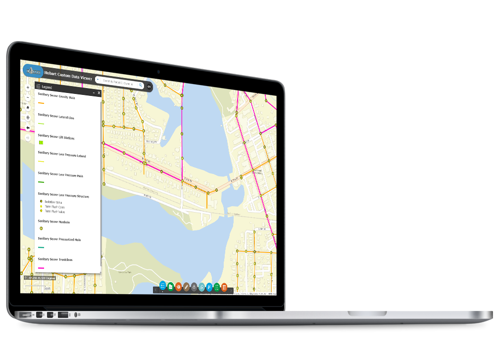
Public Works GIS Browser
Allow your users to access and view GIS data on their computer screens, anywhere, anytime.
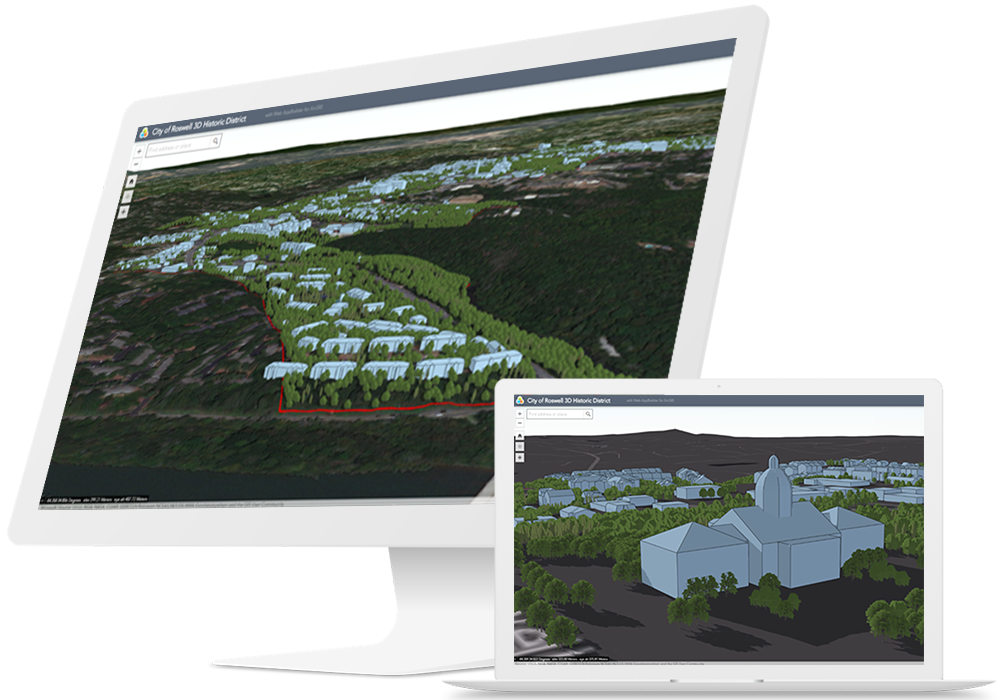
3D Tools for Public Works
Add dimension to your data with 3D visualization.
Network Application for Water, Sewer, and Storm Water
Monitor your water/sewer/storm network in real-time when combined with Collector and/or Workforce for ArcGIS. The operations dashboard will enable you to keep track of all sorts of data in one location, customizable to your needs.
Capital Improvement Program (CIP) Application for Public Utilities
GTG provides many tools and workflows that assist agencies with the creation and maintenance of capital improvement project (CIP) data using GIS. This includes dashboards, reports, and project locators.
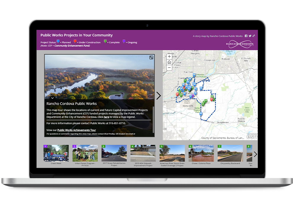
Permitting Story Map for Public Works and Public Utilities
Display permitting information to the public with a visually appealing story map
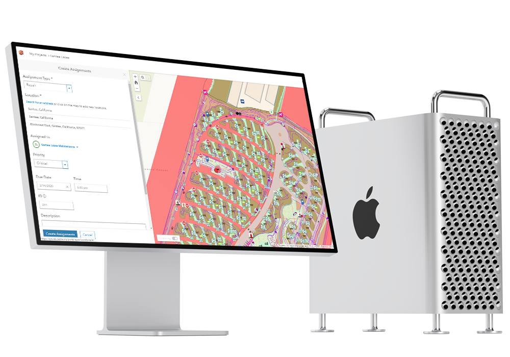
Works Order Solution Application for Public Works
All GIS assets can be leveraged with work order management, streamlining the associated maintenance and repair of physical assets
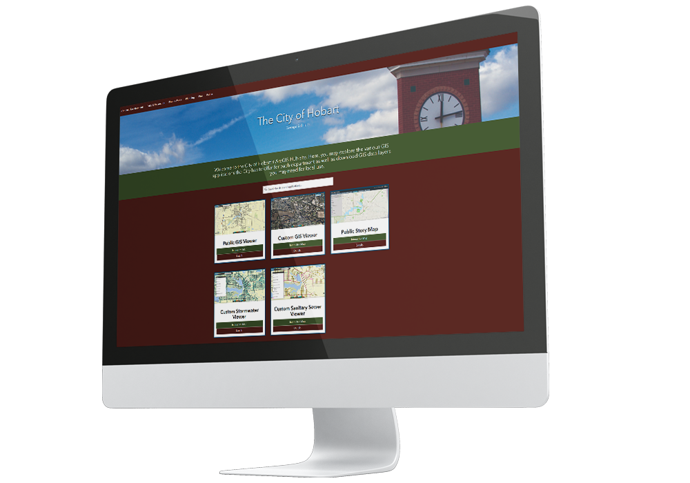
ArcGIS HUB for Public Utilities
This platform is easy to configure and organizes people, data, and tools to accomplish Initiatives and goals.
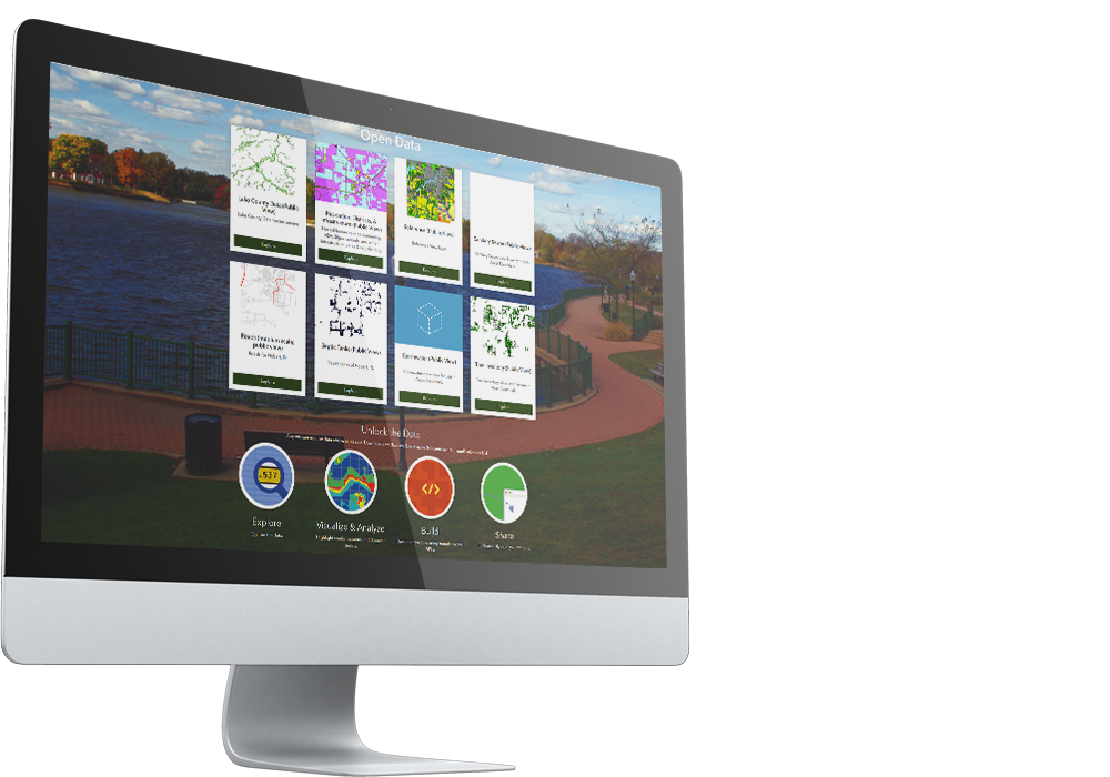
Open Data Portal for Public Works
Provide your decision-makers, staff, and the public with the data they need to make more informed decisions and accomplish their goals.